コースと標高
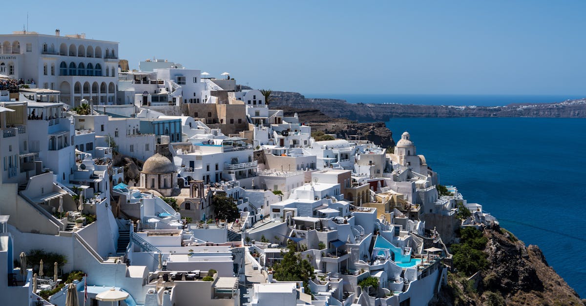
A stunning loop course through the iconic caldera villages of Santorini, starting in Fira with breathtaking Aegean Sea views. The route ascends and descends through narrow cobblestone streets, whitewashed villages, and vineyard terraces, featuring sections along the famous cliff-edge pathways. Runners experience authentic Greek island culture while tackling challenging elevation changes with rewards of spectacular Mediterranean vistas.
コースデータ
📈 Elevation Profile
📊⛰️
インタラクティブ標高チャートは近日公開
580m total gain • 起伏あり profile
🗺️ Course Map
🗺️
インタラクティブコースマップは近日公開
Santorini, Greece • 21.0975km road
🌤️ 天気 on Race Day
🌡️
22°C
気温
💧
65%
湿度
🌧️
15%
降水確率
📝
Pleasant autumn weather with mild temperatures and low rainfall probability. Early morning starts avoid midday heat, with moderate humidity levels typical of the Aegean in October.
トレーニングプランを入手
無料、このレース専用にカスタマイズ
レース情報とガイドをメールで受け取る
レース情報、トレーニングガイド、世界500以上のレースの最新情報。