コースと標高
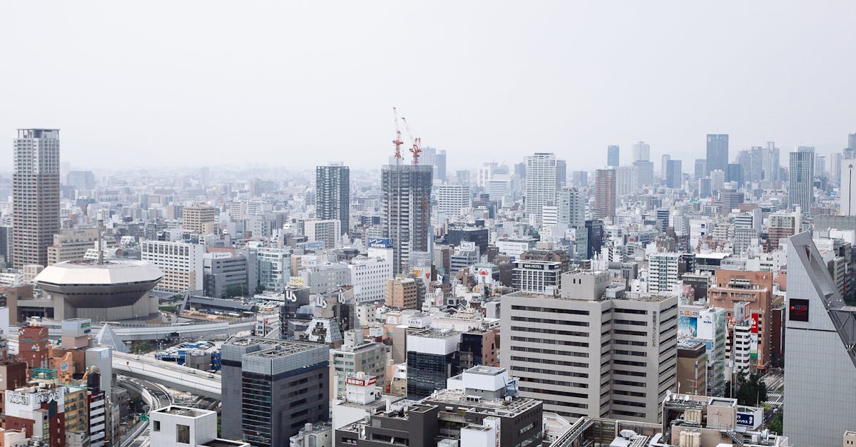
The Osaka Marathon features a scenic course through the heart of Japan's vibrant Kansai region, starting and finishing at Kyocera Dome Osaka. Runners navigate through historic neighborhoods, modern urban areas, and along the Okawa River, showcasing Osaka's blend of tradition and contemporary culture. The relatively flat course with minimal elevation change makes it ideal for fast times.
コースデータ
距離 42.195 km
獲得標高 78 m
路面 road
プロフィール フラット
天気 on Race Day
8°C
気温
55%
湿度
25%
降水確率
Early February in Osaka brings cool, generally dry weather with occasional rain. Clear skies are common, providing good visibility of the urban landscape and surrounding areas.
Osaka Marathonのアラート
エントリー開始、日程変更、定員間近の通知。