Strecke & Höhenprofil
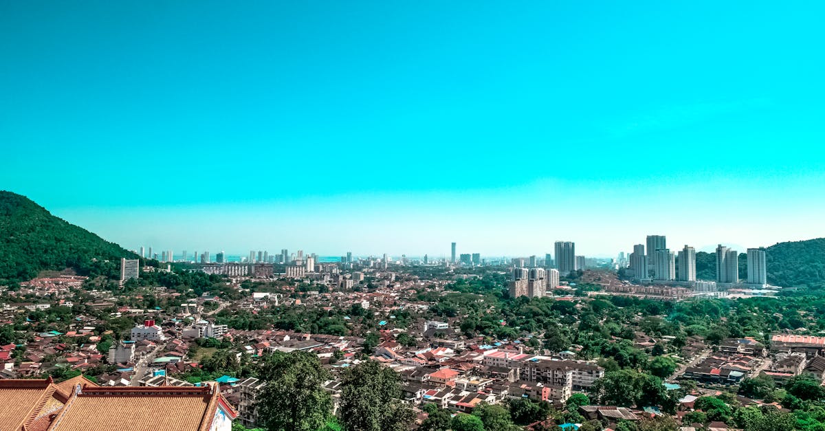
The Langkawi Marathon takes runners on a scenic loop course around the island of Langkawi, featuring coastal views, tropical landscapes, and well-maintained asphalt roads. The course includes several rolling hills through island terrain, with notable climbs near the Dataran Lang (Eagle Square) monument area. Support stations are positioned throughout the route with views of the Andaman Sea.
Streckenfakten
Wetter on Race Day
30°C
Temperatur
78%
Luftfeuchtigkeit
35%
Regenwahrscheinlichkeit
Warm and humid tropical conditions typical of March in Langkawi. Morning runs in relative coolness with afternoon heat and occasional tropical showers; runners should prepare for high humidity and intense sun exposure.
Hol dir deinen Trainingsplan
Kostenlos, personalisiert für dieses Rennen
Benachrichtigungen für Langkawi Marathon
Anmeldestarts, Terminänderungen, Ausverkaufswarnungen.