Strecke & Höhenprofil
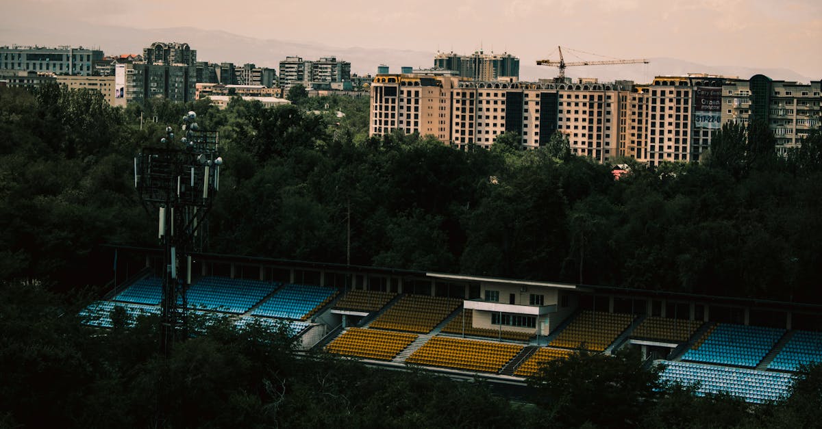
The Bishkek Marathon follows a scenic loop course through Kyrgyzstan's capital, starting and finishing near the central Ala-Too Square. The route traverses the city's main avenues and parks, passing through residential and recreational areas with views of the Tian Shan mountains in the distance. Runners experience moderate rolling terrain as they navigate the high-altitude urban landscape.
Streckenfakten
📈 Elevation Profile
📊〰️
Interaktives Höhenprofil kommt bald
180m total gain • Wellig profile
🗺️ Course Map
🗺️
Interaktive Streckenkarte kommt bald
Bishkek, Kyrgyzstan • 42.195km road
🌤️ Wetter on Race Day
🌡️
18°C
Temperatur
💧
45%
Luftfeuchtigkeit
🌧️
35%
Regenwahrscheinlichkeit
📝
April brings pleasant spring weather to Bishkek with mild temperatures and occasional afternoon showers. The high elevation (800m+) means temperatures can vary significantly, but conditions are generally favorable for distance running.
Hol dir deinen Trainingsplan
Kostenlos, personalisiert für dieses Rennen
Renn-Tipps & Guides per E-Mail erhalten
Renn-Tipps, Trainingsguides und Neuigkeiten von über 500 Rennen weltweit.