Bana och höjdprofil
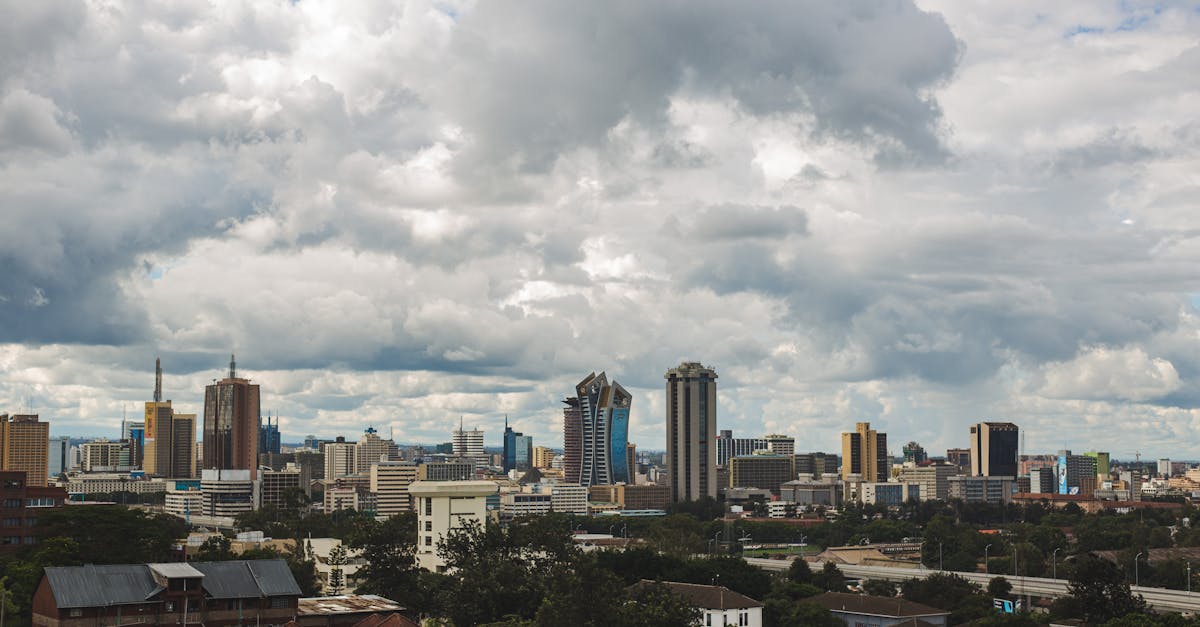
The Nairobi Marathon features a scenic loop course starting and finishing at Nyayo Stadium in the heart of Nairobi. The route takes runners through the city's diverse neighborhoods, passing through Ngong Road, Mombasa Road, and the lush Karura Forest area, with a moderate elevation profile reflecting Nairobi's high altitude location. The course showcases the city's urban landscape while incorporating green spaces and tree-lined sections.
Banfakta
Väder on Race Day
20°C
Temperatur
65%
Luftfuktighet
35%
Regnrisk
October in Nairobi brings warm, relatively dry conditions with cool mornings typical of the city's 1,600m+ elevation. Short rains are possible but generally light; runners should expect crisp morning temperatures warming to pleasant afternoons.
Aviseringar för Nairobi Marathon
Anmälningsöppningar, datumändringar, varningar om utsålt.