Bana och höjdprofil
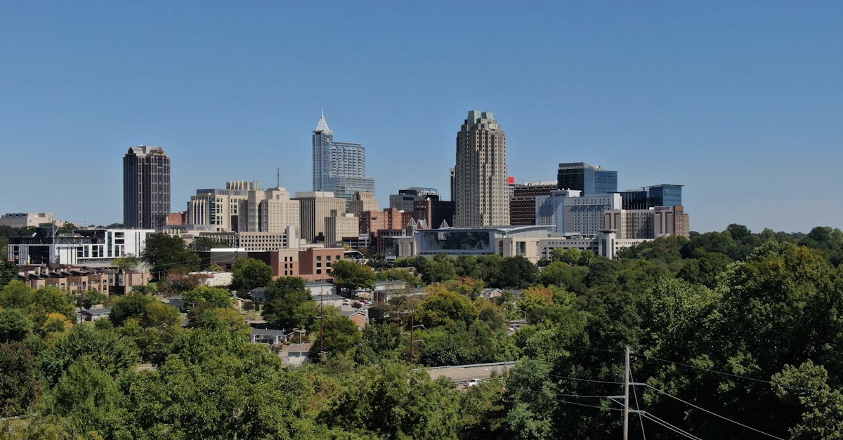
The Libreville Marathon follows a scenic loop course through the capital city of Gabon, starting and finishing near the Port-Môle district. The course winds through urban neighborhoods, coastal areas along the Atlantic, and the lush equatorial vegetation surrounding the city. The predominantly flat terrain takes advantage of Libreville's natural waterfront setting and modern infrastructure.
Banfakta
📈 Elevation Profile
➡️📊
Interaktiv höjdprofil kommer snart
85m total gain • Platt profile
🗺️ Course Map
🗺️
Interaktiv bankarta kommer snart
Libreville, Gabon • 42.195km road
🌤️ Väder on Race Day
🌡️
28°C
Temperatur
💧
82%
Luftfuktighet
🌧️
35%
Regnrisk
📝
Warm and humid tropical conditions with occasional afternoon showers. December is considered the drier season in Libreville, though humidity remains high throughout the year. Runners should prepare for heat and moisture with early morning starts.
Hämta din träningsplan
Gratis, anpassad för detta lopp
Få lopptips och guider i din inkorg
Lopptips, träningsguider och senaste nytt från 500+ lopp världen över.