Course & Elevation
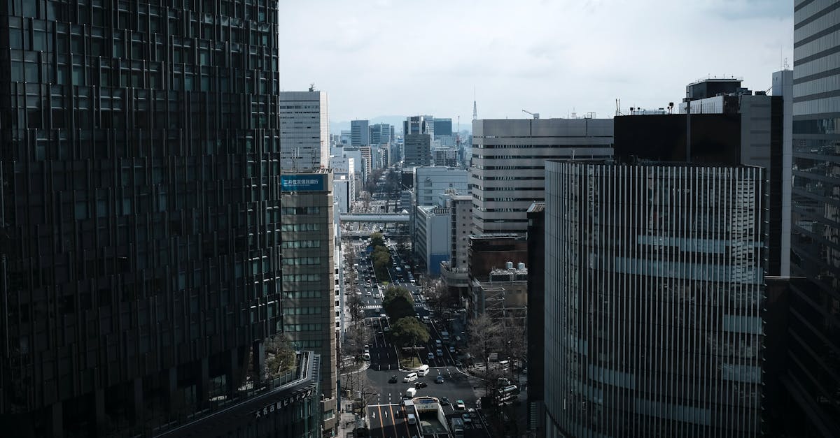
This fast, flat course starts at Nagoya Castle and winds through the city's business and cultural districts before finishing near Nagoya Port. The route showcases Nagoya's modern urban landscape with minimal elevation changes, making it ideal for fast times. Spectator support is strong throughout, particularly in the downtown sections.
Course Facts
Distance 42.195 km
Elevation Gain 142 m
Surface road
Profile Flat
Weather on Race Day
10°C
Temperature
55%
Humidity
35%
Rain Chance
Early spring weather with mild temperatures and moderate humidity. Cool morning conditions (around 6°C) warming to comfortable mid-morning temps, occasional rain possible.
Get Your Training Plan
Free, personalized for this race
Get alerts for Nagoya Women's Marathon
Registration openings, date changes, sell-out warnings.