Course & Elevation
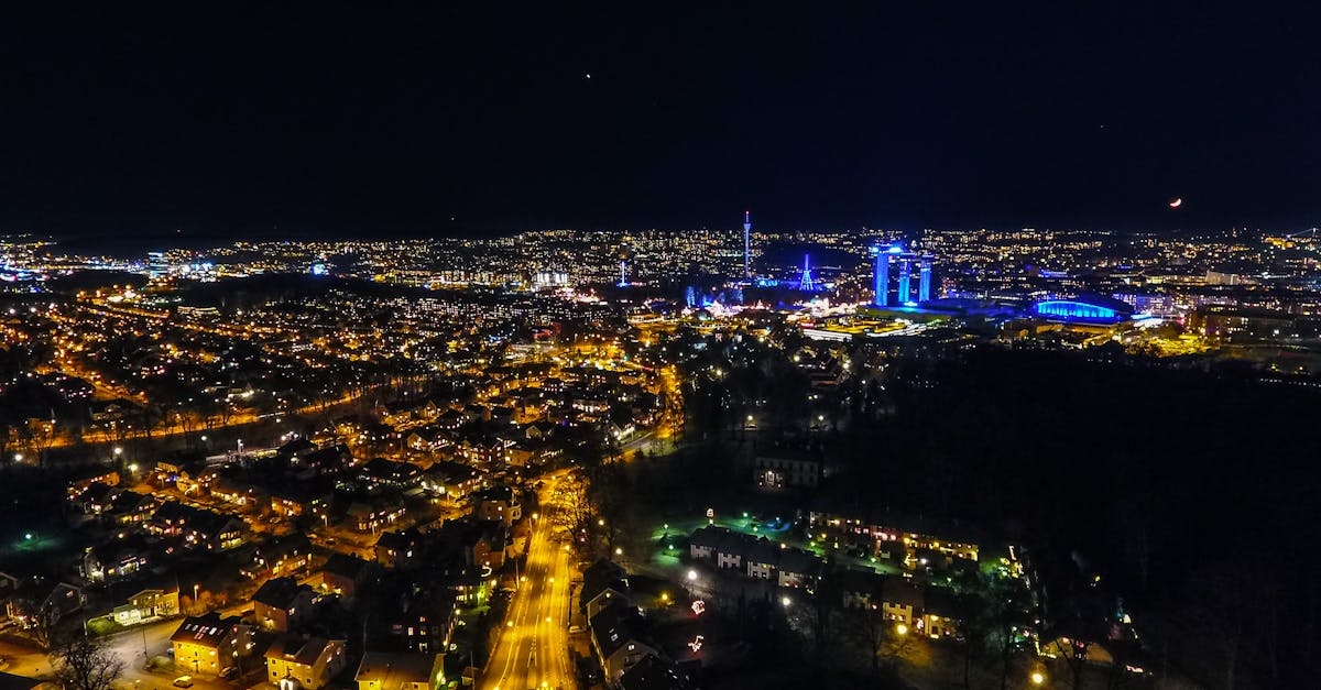
A loop course through Gothenburg, passing the harbor, Slottsskogen park, the Älvsborg Bridge, and the charming Haga district. Hilly with some tough climbs, especially in the second half.
Course Facts
Distance 21.0975 km
Elevation Gain 110 m
Surface road
Profile Hilly
Weather on Race Day
14°C
Temperature
60%
Humidity
30%
Rain Chance
Late spring in western Sweden. Mild and often sunny, typically 10–18°C. Can be windy near the harbor.
Get Your Training Plan
Free, personalized for this race
Get alerts for Göteborgsvarvet
Registration openings, date changes, sell-out warnings.