コースと標高
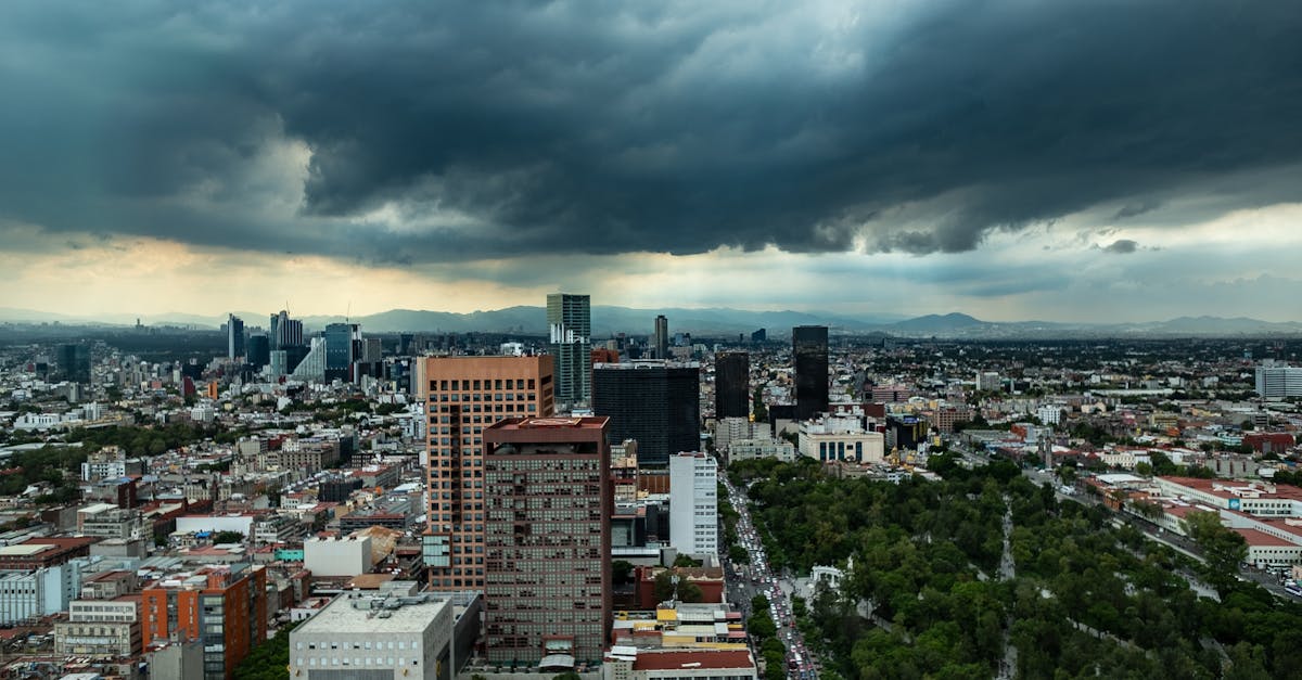
The Mexico City Marathon starts and finishes in the historic Zócalo (main plaza) and loops through the heart of the capital, passing iconic landmarks including the Metropolitan Cathedral, Paseo de la Reforma, and Chapultepec Park. The course operates at high altitude (2,250-2,630m), providing a challenging but spectacular urban experience through Mexico's vibrant cultural center.
コースデータ
📈 Elevation Profile
📊〰️
インタラクティブ標高チャートは近日公開
520m total gain • 緩やかな起伏 profile
🗺️ Course Map
🗺️
インタラクティブコースマップは近日公開
Mexico City, Mexico • 42.195km road
🌤️ 天気 on Race Day
🌡️
20°C
気温
💧
65%
湿度
🌧️
40%
降水確率
📝
August is in Mexico City's rainy season with warm temperatures and moderate humidity. Afternoon thunderstorms are common, though mornings are typically clearer. The high altitude (2,250m) means cooler conditions than expected for the latitude.
トレーニングプランを入手
無料、このレース専用にカスタマイズ
レース情報とガイドをメールで受け取る
レース情報、トレーニングガイド、世界500以上のレースの最新情報。