コースと標高
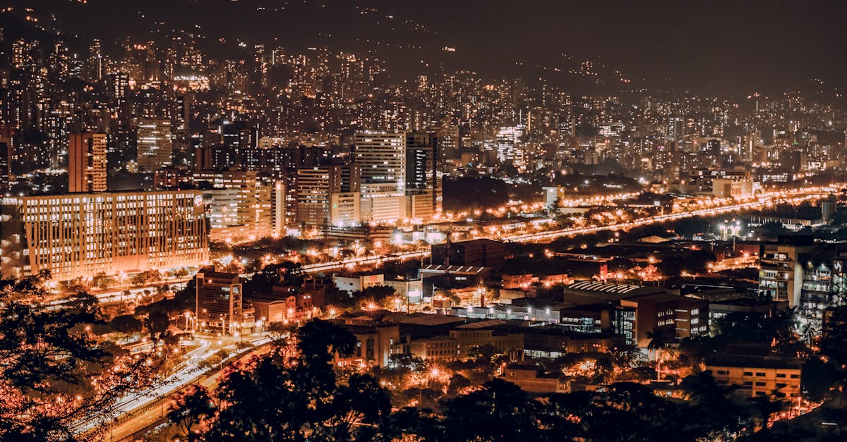
The Medellín Marathon features a scenic loop course through the heart of Colombia's City of Innovation, showcasing the transformation of this vibrant metropolis. Runners pass through historic neighborhoods, modern urban developments, and the beautiful Aburrá Valley, with rolling elevation changes typical of Medellín's mountainous terrain. The course includes iconic landmarks and offers views of the city's cable car systems and metro infrastructure.
コースデータ
📈 Elevation Profile
📊〰️
インタラクティブ標高チャートは近日公開
560m total gain • 緩やかな起伏 profile
🗺️ Course Map
🗺️
インタラクティブコースマップは近日公開
Medellín, Colombia • 42.195km road
🌤️ 天気 on Race Day
🌡️
22°C
気温
💧
75%
湿度
🌧️
65%
降水確率
📝
Warm and humid with moderate rainfall likely during race day. September is within Medellín's rainy season, so preparation for wet conditions is essential. Temperatures remain mild year-round due to the city's altitude of 1,495 meters.
トレーニングプランを入手
無料、このレース専用にカスタマイズ
レース情報とガイドをメールで受け取る
レース情報、トレーニングガイド、世界500以上のレースの最新情報。