コースと標高
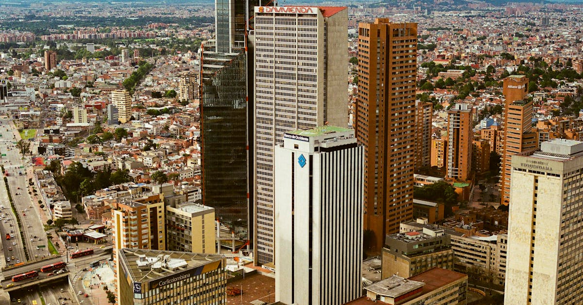
The Bogotá Half Marathon showcases Colombia's capital city at high altitude (2,640m), featuring a challenging loop course through the historic La Candelaria district, modern Zona Rosa, and scenic Parque Metropolitano Simón Bolívar. Runners experience significant elevation changes with cooling mountain air, making this one of South America's most distinctive urban half-marathons.
コースデータ
📈 Elevation Profile
📊〰️
インタラクティブ標高チャートは近日公開
380m total gain • 緩やかな起伏 profile
🗺️ Course Map
🗺️
インタラクティブコースマップは近日公開
Bogotá, Colombia • 21.0975km road
🌤️ 天気 on Race Day
🌡️
14°C
気温
💧
72%
湿度
🌧️
65%
降水確率
📝
Cool mountain weather with occasional rain showers typical of Bogotá's winter season. Low oxygen levels at 2,640m elevation require acclimatization; temperatures remain mild year-round due to high altitude.
トレーニングプランを入手
無料、このレース専用にカスタマイズ
レース情報とガイドをメールで受け取る
レース情報、トレーニングガイド、世界500以上のレースの最新情報。