コースと標高
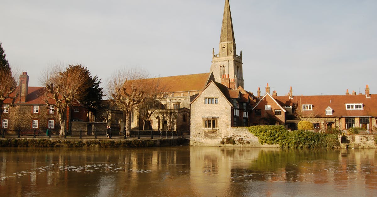
The Abingdon Marathon is a fast, flat course following the Thames Valley with scenic views through Oxfordshire countryside and along the River Thames. The well-marked loop course returns runners to the historic market town of Abingdon, known for its medieval bridge and picturesque riverside setting.
コースデータ
距離 42.195 km
獲得標高 156 m
路面 road
プロフィール フラット
📈 Elevation Profile
➡️📊
インタラクティブ標高チャートは近日公開
156m total gain • フラット profile
🗺️ Course Map
🗺️
インタラクティブコースマップは近日公開
Abingdon, United Kingdom • 42.195km road
🌤️ 天気 on Race Day
🌡️
12°C
気温
💧
78%
湿度
🌧️
55%
降水確率
📝
Cool autumn conditions with variable wind. Light rain is possible; runners should prepare for wet conditions and potential head winds along exposed sections near the river.
トレーニングプランを入手
無料、このレース専用にカスタマイズ
レース情報とガイドをメールで受け取る
レース情報、トレーニングガイド、世界500以上のレースの最新情報。