Percorso e dislivello
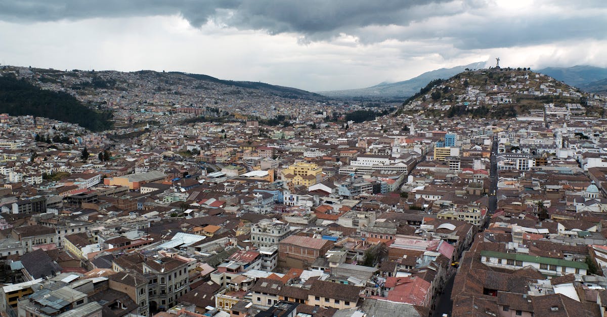
The Quito Marathon navigates through the historic and colonial streets of Ecuador's capital, the world's second-highest capital city at 2,850m elevation. Runners experience significant altitude challenges while passing through historic neighborhoods, modern districts, and enjoying views of the surrounding Andean peaks. The course is primarily urban with rolling hills throughout the entire route.
Dati del percorso
Meteo on Race Day
16°C
Temperatura
68%
Umidità
45%
Probabilità di pioggia
August is part of Quito's dry season with mild temperatures typical of the equatorial highlands. Runners should expect cool conditions due to high altitude, with possible afternoon light rain and intense UV exposure.
Ottieni il tuo piano di allenamento
Gratuito, personalizzato per questa gara
Avvisi per Quito Marathon
Aperture iscrizioni, cambi data, avvisi esaurimento.