Percorso e dislivello
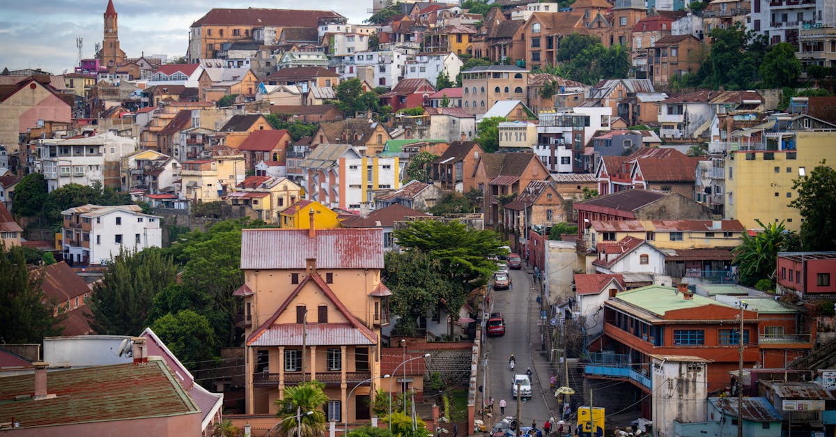
The Antananarivo Marathon takes runners through the historic capital city of Madagascar, starting and finishing in the central Analakely district. The course winds through the distinctive hillside neighborhoods of the city, featuring steep climbs through residential areas and descents offering panoramic views of the red-tiled rooftops and valleys. Runners experience the rich cultural heritage of Tana with support from local communities along the route.
Dati del percorso
Meteo on Race Day
16°C
Temperatura
65%
Umidità
15%
Probabilità di pioggia
June is winter in Madagascar with mild, dry conditions. Cool mornings and pleasant afternoons make for favorable running conditions, though altitude and hills present a challenge.
Ottieni il tuo piano di allenamento
Gratuito, personalizzato per questa gara
Avvisi per Antananarivo Marathon
Aperture iscrizioni, cambi data, avvisi esaurimento.