Parcours et dénivelé
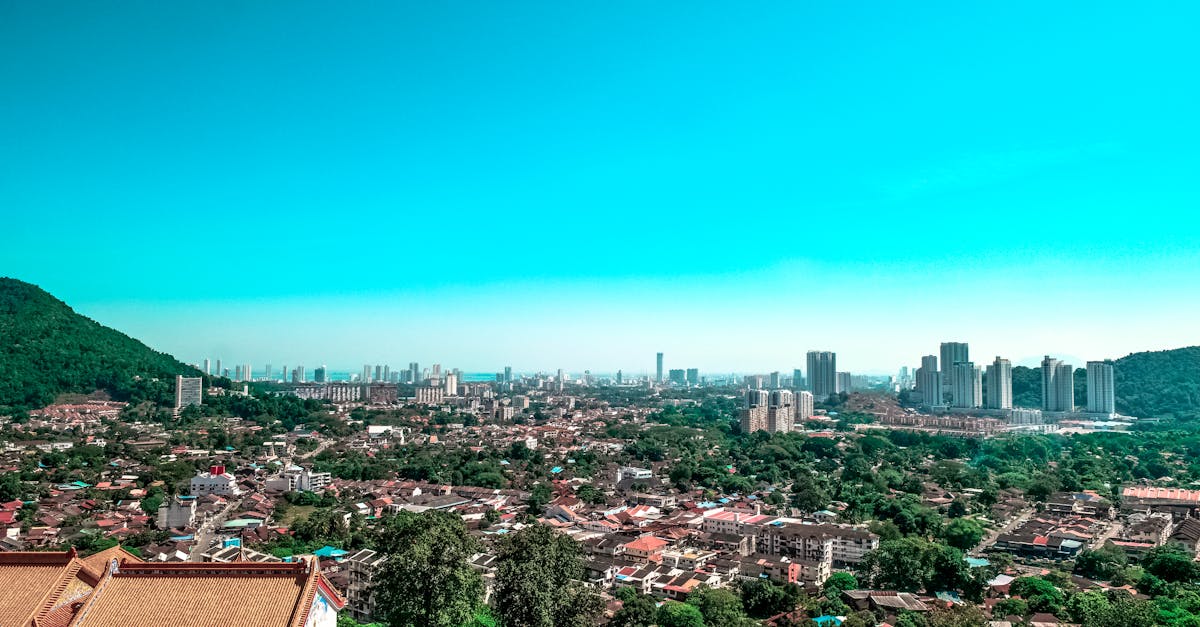
The Langkawi Marathon takes runners on a scenic loop course around the island of Langkawi, featuring coastal views, tropical landscapes, and well-maintained asphalt roads. The course includes several rolling hills through island terrain, with notable climbs near the Dataran Lang (Eagle Square) monument area. Support stations are positioned throughout the route with views of the Andaman Sea.
Données du parcours
📈 Elevation Profile
📊〰️
Graphique d'altitude interactif à venir
280m total gain • Ondulé profile
🗺️ Course Map
🗺️
Carte du parcours interactive à venir
Langkawi, Malaysia • 42.195km road
🌤️ Météo on Race Day
🌡️
30°C
Température
💧
78%
Humidité
🌧️
35%
Risque de pluie
📝
Warm and humid tropical conditions typical of March in Langkawi. Morning runs in relative coolness with afternoon heat and occasional tropical showers; runners should prepare for high humidity and intense sun exposure.
Obtenez votre plan d'entraînement
Gratuit, personnalisé pour cette course
Recevez conseils et guides par email
Conseils de course, guides d'entraînement et dernières nouvelles de plus de 500 courses dans le monde.