Parcours et dénivelé
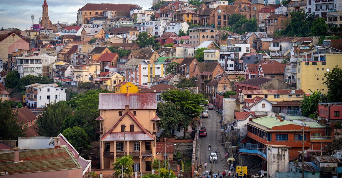
The Antananarivo Marathon takes runners through the historic capital city of Madagascar, starting and finishing in the central Analakely district. The course winds through the distinctive hillside neighborhoods of the city, featuring steep climbs through residential areas and descents offering panoramic views of the red-tiled rooftops and valleys. Runners experience the rich cultural heritage of Tana with support from local communities along the route.
Données du parcours
Météo on Race Day
16°C
Température
65%
Humidité
15%
Risque de pluie
June is winter in Madagascar with mild, dry conditions. Cool mornings and pleasant afternoons make for favorable running conditions, though altitude and hills present a challenge.
Obtenez votre plan d'entraînement
Gratuit, personnalisé pour cette course
Alertes pour Antananarivo Marathon
Ouvertures d'inscription, changements de date, alertes complet.