Recorrido y desnivel
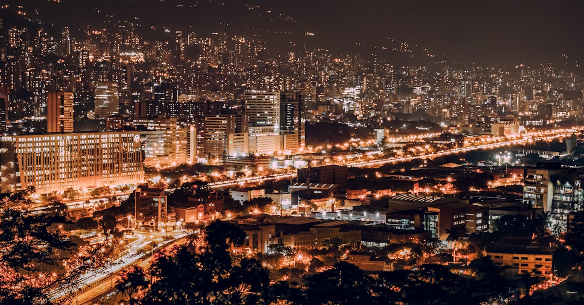
The Medellín Marathon features a scenic loop course through the heart of Colombia's City of Innovation, showcasing the transformation of this vibrant metropolis. Runners pass through historic neighborhoods, modern urban developments, and the beautiful Aburrá Valley, with rolling elevation changes typical of Medellín's mountainous terrain. The course includes iconic landmarks and offers views of the city's cable car systems and metro infrastructure.
Datos del recorrido
Clima on Race Day
22°C
Temperatura
75%
Humedad
65%
Probabilidad de lluvia
Warm and humid with moderate rainfall likely during race day. September is within Medellín's rainy season, so preparation for wet conditions is essential. Temperatures remain mild year-round due to the city's altitude of 1,495 meters.
Obtén tu plan de entrenamiento
Gratis, personalizado para esta carrera
Alertas para Medellín Marathon
Apertura de inscripciones, cambios de fecha, avisos de agotamiento.