Strecke & Höhenprofil
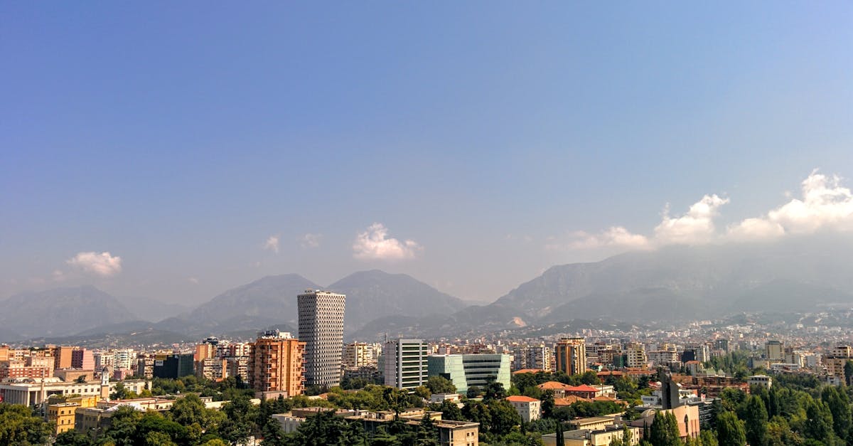
The Tirana Marathon takes runners through Albania's vibrant capital city, featuring a scenic loop course that showcases historic neighborhoods, parks, and the Lana River. The route passes through Blloku district, Artificial Lake, and ends at Skanderbeg Square, the heart of Tirana. Mostly flat with gentle rolling sections, making it accessible for runners of various abilities.
Streckenfakten
📈 Elevation Profile
📊〰️
Interaktives Höhenprofil kommt bald
280m total gain • Wellig profile
🗺️ Course Map
🗺️
Interaktive Streckenkarte kommt bald
Tirana, Albania • 42.195km road
🌤️ Wetter on Race Day
🌡️
18°C
Temperatur
💧
65%
Luftfeuchtigkeit
🌧️
25%
Regenwahrscheinlichkeit
📝
Mild autumn weather with comfortable temperatures and low humidity. Occasional rainfall possible but generally stable conditions ideal for marathon running.
Hol dir deinen Trainingsplan
Kostenlos, personalisiert für dieses Rennen
Renn-Tipps & Guides per E-Mail erhalten
Renn-Tipps, Trainingsguides und Neuigkeiten von über 500 Rennen weltweit.