Strecke & Höhenprofil
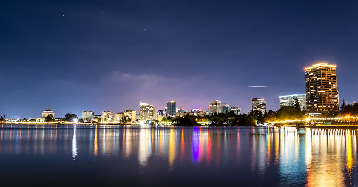
The Tauranga Marathon features a scenic route through the coastal city and surrounding areas, starting and finishing at The Strand waterfront. The course incorporates rolling terrain with views of the Bay of Plenty, passing through residential areas, parklands, and returning along the scenic coastal route. Mostly flat with gentle undulations, making it accessible for runners seeking a challenging yet achievable marathon experience.
Streckenfakten
Wetter on Race Day
17°C
Temperatur
72%
Luftfeuchtigkeit
35%
Regenwahrscheinlichkeit
Autumn conditions in Tauranga bring mild temperatures and moderate winds from the Tasman Sea. May typically offers pleasant running weather with occasional rain showers and good visibility for coastal scenery.
Hol dir deinen Trainingsplan
Kostenlos, personalisiert für dieses Rennen
Benachrichtigungen für Tauranga Marathon
Anmeldestarts, Terminänderungen, Ausverkaufswarnungen.