Strecke & Höhenprofil
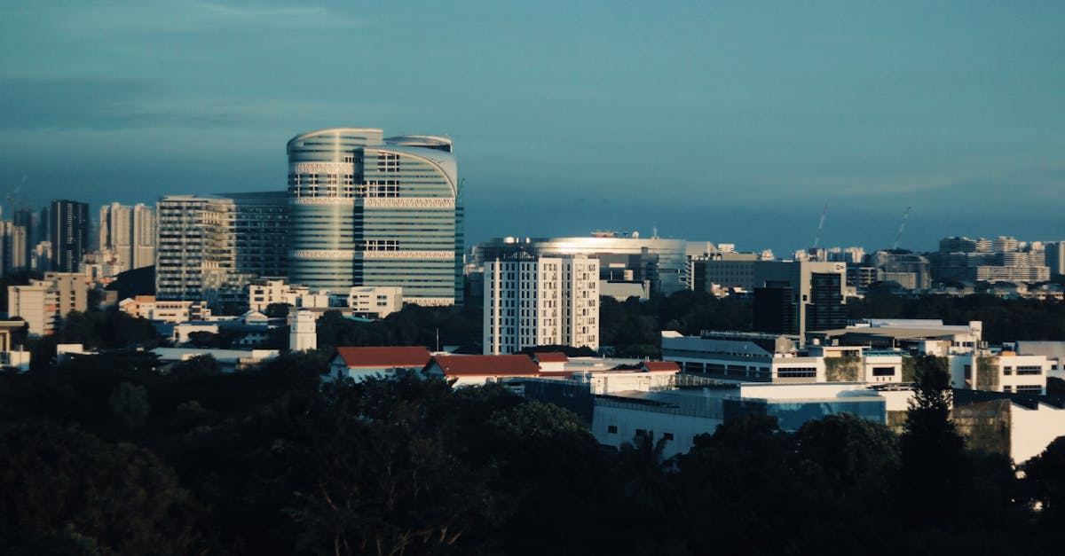
A scenic loop course through Singapore's most iconic landmarks, featuring views of Marina Bay, East Coast Park, and the Singapore Strait. The route passes through urban areas, coastal parks, and residential neighborhoods, making it a perfect showcase of the island nation's blend of modernity and nature.
Streckenfakten
Wetter on Race Day
26°C
Temperatur
80%
Luftfeuchtigkeit
45%
Regenwahrscheinlichkeit
Warm and humid tropical climate typical of December in Singapore. Occasional afternoon showers are common, but the race is held early morning to minimize heat exposure. Trade winds provide some relief along coastal sections.
Hol dir deinen Trainingsplan
Kostenlos, personalisiert für dieses Rennen
Benachrichtigungen für Singapore Marathon
Anmeldestarts, Terminänderungen, Ausverkaufswarnungen.