Strecke & Höhenprofil
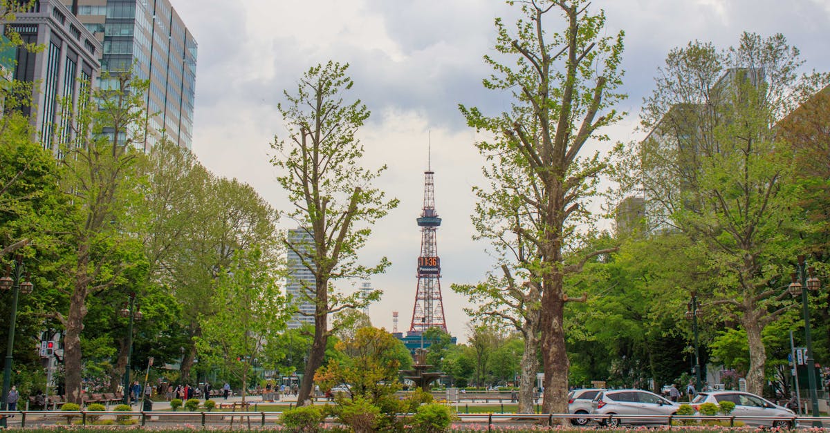
The Sapporo Marathon features a scenic urban loop course through Hokkaido's capital city, passing Maruyama Park, Nakajima Park, and the Ishikari River. The course is predominantly flat with excellent spectator support and an energetic atmosphere typical of major Japanese marathons. Well-marked with abundant aid stations and water points throughout the route.
Streckenfakten
📈 Elevation Profile
➡️📊
Interaktives Höhenprofil kommt bald
185m total gain • Flach profile
🗺️ Course Map
🗺️
Interaktive Streckenkarte kommt bald
Sapporo, Japan • 42.195km road
🌤️ Wetter on Race Day
🌡️
25°C
Temperatur
💧
72%
Luftfeuchtigkeit
🌧️
35%
Regenwahrscheinlichkeit
📝
August in Sapporo brings warm summer conditions with moderate humidity. Runners should expect temperatures in the mid-20s Celsius with occasional rain showers; cooling winds from surrounding mountains help mitigate heat stress.
Hol dir deinen Trainingsplan
Kostenlos, personalisiert für dieses Rennen
Renn-Tipps & Guides per E-Mail erhalten
Renn-Tipps, Trainingsguides und Neuigkeiten von über 500 Rennen weltweit.