Strecke & Höhenprofil
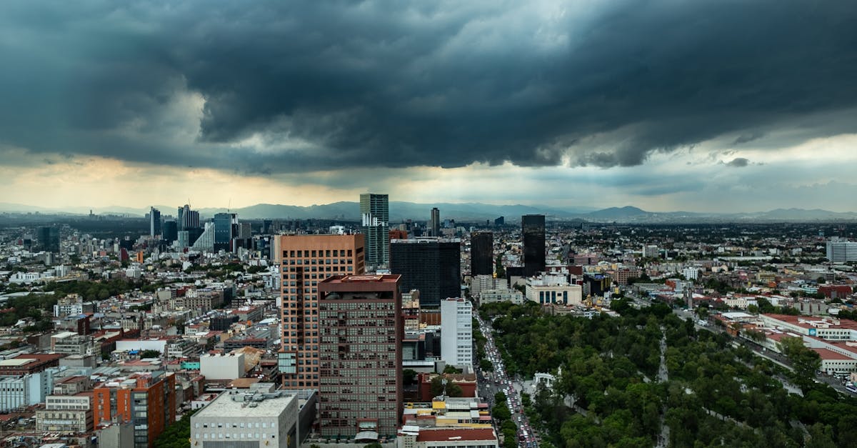
The Mexico City Marathon starts and finishes in the historic Zócalo (main plaza) and loops through the heart of the capital, passing iconic landmarks including the Metropolitan Cathedral, Paseo de la Reforma, and Chapultepec Park. The course operates at high altitude (2,250-2,630m), providing a challenging but spectacular urban experience through Mexico's vibrant cultural center.
Streckenfakten
📈 Elevation Profile
📊〰️
Interaktives Höhenprofil kommt bald
520m total gain • Wellig profile
🗺️ Course Map
🗺️
Interaktive Streckenkarte kommt bald
Mexico City, Mexico • 42.195km road
🌤️ Wetter on Race Day
🌡️
20°C
Temperatur
💧
65%
Luftfeuchtigkeit
🌧️
40%
Regenwahrscheinlichkeit
📝
August is in Mexico City's rainy season with warm temperatures and moderate humidity. Afternoon thunderstorms are common, though mornings are typically clearer. The high altitude (2,250m) means cooler conditions than expected for the latitude.
Hol dir deinen Trainingsplan
Kostenlos, personalisiert für dieses Rennen
Renn-Tipps & Guides per E-Mail erhalten
Renn-Tipps, Trainingsguides und Neuigkeiten von über 500 Rennen weltweit.