Strecke & Höhenprofil
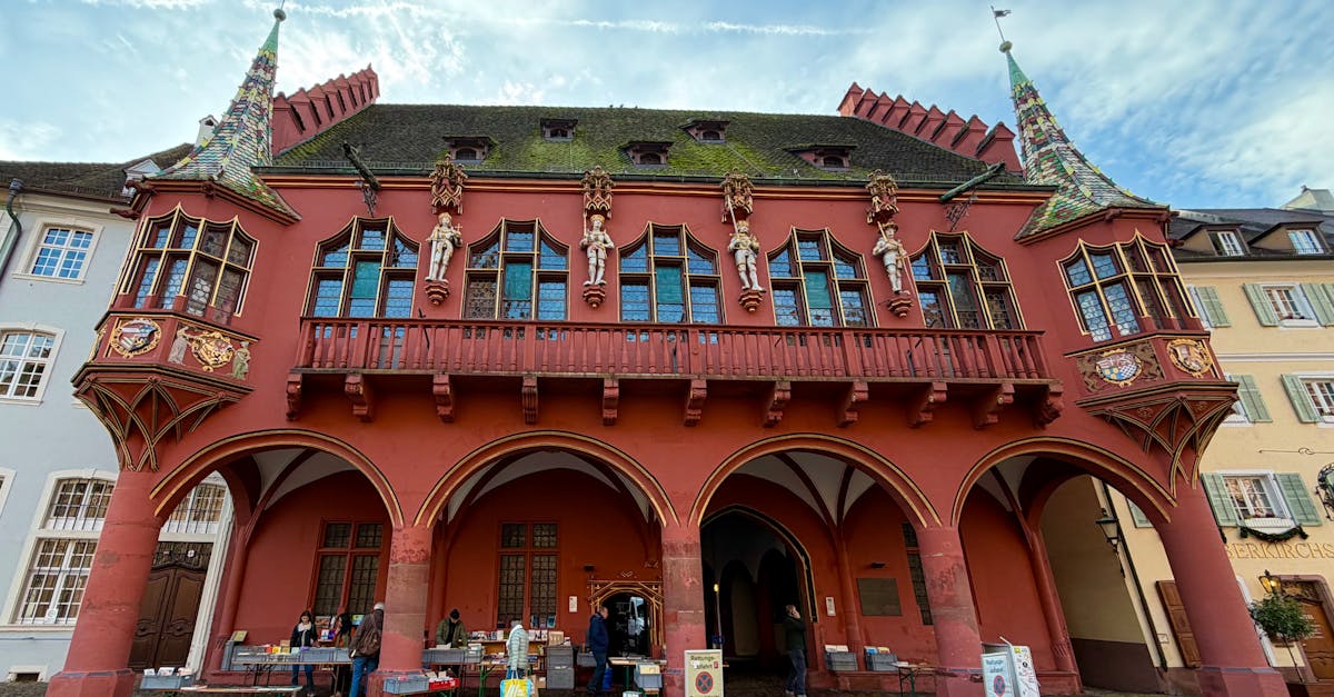
The Freiburg Marathon features a scenic loop course through the Black Forest foothills, starting and finishing in the historic city center. The route combines urban running through Freiburg's charming medieval streets with gentle rolling hills through vineyards and forests of the surrounding region. Well-supported with aid stations and primarily on paved roads, making it accessible while offering beautiful natural scenery.
Streckenfakten
Wetter on Race Day
12°C
Temperatur
65%
Luftfeuchtigkeit
35%
Regenwahrscheinlichkeit
Spring weather in Freiburg brings cool mornings with mild afternoons, typical for early season marathons. Variable conditions with possibility of rain require layering; sunny days offer perfect running conditions.
Hol dir deinen Trainingsplan
Kostenlos, personalisiert für dieses Rennen
Benachrichtigungen für Freiburg Marathon
Anmeldestarts, Terminänderungen, Ausverkaufswarnungen.