Strecke & Höhenprofil
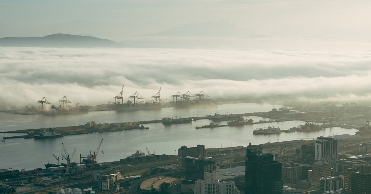
Starting and finishing in the city center, the course runs along the Atlantic Seaboard through Green Point, Sea Point, and Mouille Point with Table Mountain as a constant backdrop. Returns through the Bo-Kaap and CBD.
Streckenfakten
Distanz 42.195 km
Höhenmeter 120 m
Untergrund road
Profil Wellig
Wetter on Race Day
18°C
Temperatur
65%
Luftfeuchtigkeit
15%
Regenwahrscheinlichkeit
South African spring — warm and mostly dry. Temperatures typically 14–22°C. Can be windy along the coast.
Hol dir deinen Trainingsplan
Kostenlos, personalisiert für dieses Rennen
Benachrichtigungen für Cape Town Marathon
Anmeldestarts, Terminänderungen, Ausverkaufswarnungen.