Strecke & Höhenprofil
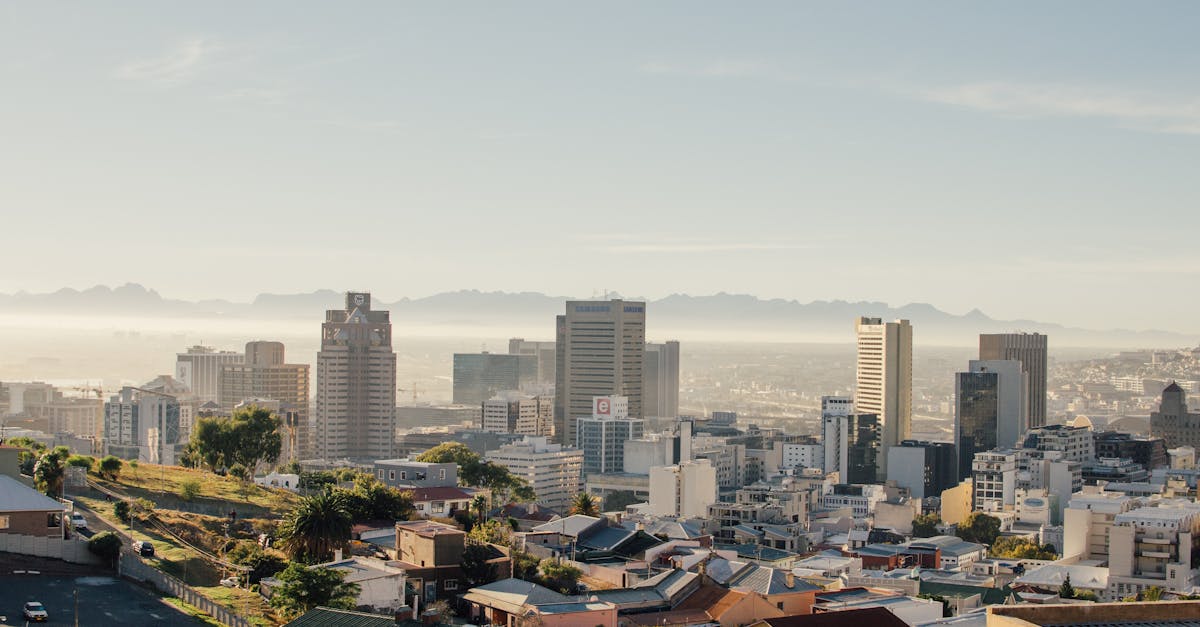
Starting at the V&A Waterfront, the course traverses the scenic Atlantic Seaboard coastline, passing through Signal Hill and along the clifftop paths with spectacular ocean views. The route includes rolling hills with challenging climbs through the Sea Point and Camps Bay areas before descending toward the finish at Mouille Point lighthouse, offering one of the world's most visually stunning half-marathon experiences.
Streckenfakten
📈 Elevation Profile
📊〰️
Interaktives Höhenprofil kommt bald
380m total gain • Wellig profile
🗺️ Course Map
🗺️
Interaktive Streckenkarte kommt bald
Cape Town, South Africa • 21.0975km road
🌤️ Wetter on Race Day
🌡️
20°C
Temperatur
💧
65%
Luftfeuchtigkeit
🌧️
15%
Regenwahrscheinlichkeit
📝
Spring weather with mild temperatures and predominantly clear skies. Light Atlantic breezes provide relief during the coastal run, though wind can occasionally be gusty around clifftop sections.
Hol dir deinen Trainingsplan
Kostenlos, personalisiert für dieses Rennen
Renn-Tipps & Guides per E-Mail erhalten
Renn-Tipps, Trainingsguides und Neuigkeiten von über 500 Rennen weltweit.