Strecke & Höhenprofil
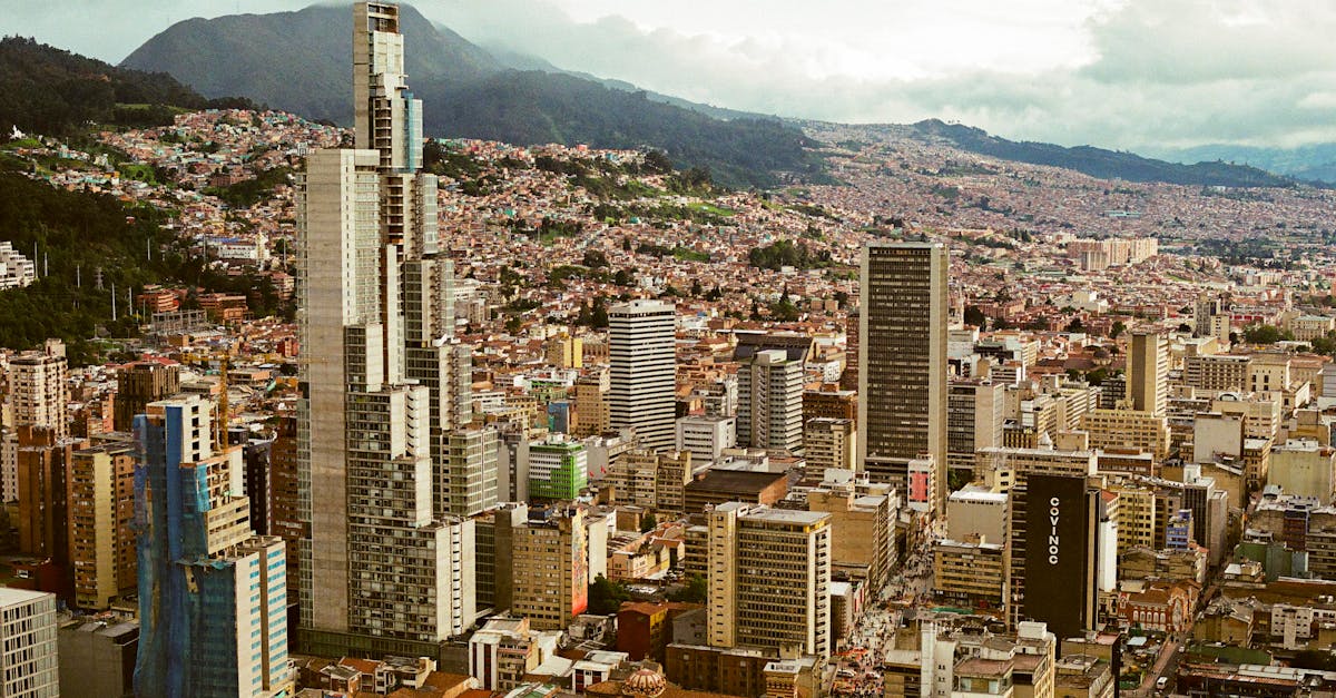
Starting and finishing in La Macarena, the course winds through Bogotá's most iconic neighborhoods including Zona Rosa, Usaquén, and the scenic Monserrate foothills. The race features several moderate climbs reflecting Bogotá's high-altitude terrain (2,640m), with the most significant elevation gain in the northern section through upscale residential areas. Runners experience a mix of city streets, parks, and tree-lined avenues with excellent crowd support throughout.
Streckenfakten
📈 Elevation Profile
📊〰️
Interaktives Höhenprofil kommt bald
520m total gain • Wellig profile
🗺️ Course Map
🗺️
Interaktive Streckenkarte kommt bald
Bogotá, Colombia • 21.0975km road
🌤️ Wetter on Race Day
🌡️
15°C
Temperatur
💧
72%
Luftfeuchtigkeit
🌧️
65%
Regenwahrscheinlichkeit
📝
Cool and crisp high-altitude weather with frequent afternoon rain typical of Bogotá's rainy season. Runners should expect wet conditions and dress in layers for the cool morning start.
Hol dir deinen Trainingsplan
Kostenlos, personalisiert für dieses Rennen
Renn-Tipps & Guides per E-Mail erhalten
Renn-Tipps, Trainingsguides und Neuigkeiten von über 500 Rennen weltweit.