Strecke & Höhenprofil
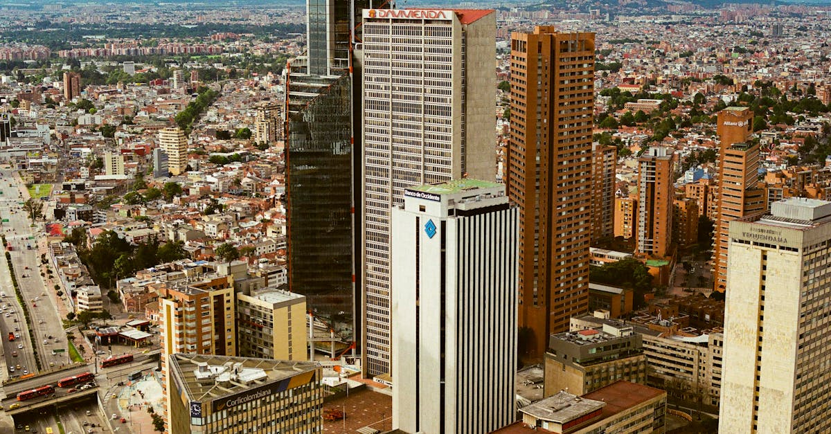
The Bogotá Half Marathon showcases Colombia's capital city at high altitude (2,640m), featuring a challenging loop course through the historic La Candelaria district, modern Zona Rosa, and scenic Parque Metropolitano Simón Bolívar. Runners experience significant elevation changes with cooling mountain air, making this one of South America's most distinctive urban half-marathons.
Streckenfakten
Wetter on Race Day
14°C
Temperatur
72%
Luftfeuchtigkeit
65%
Regenwahrscheinlichkeit
Cool mountain weather with occasional rain showers typical of Bogotá's winter season. Low oxygen levels at 2,640m elevation require acclimatization; temperatures remain mild year-round due to high altitude.
Hol dir deinen Trainingsplan
Kostenlos, personalisiert für dieses Rennen
Benachrichtigungen für Bogotá Half Marathon
Anmeldestarts, Terminänderungen, Ausverkaufswarnungen.