Strecke & Höhenprofil
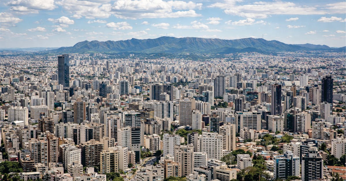
The Belo Horizonte Marathon traverses the modernist heart of Brazil's third-largest city, starting in the historic Savassi neighborhood and finishing near the iconic Pampulha Architectural Complex designed by Oscar Niemeyer. The course winds through diverse neighborhoods including Funcionários, Lourdes, and Santo Agostinho, featuring a mix of urban streets and tree-lined avenues with moderate elevation changes characteristic of the city's hilly terrain.
Streckenfakten
📈 Elevation Profile
📊〰️
Interaktives Höhenprofil kommt bald
380m total gain • Wellig profile
🗺️ Course Map
🗺️
Interaktive Streckenkarte kommt bald
Belo Horizonte, Brazil • 42.195km road
🌤️ Wetter on Race Day
🌡️
26°C
Temperatur
💧
72%
Luftfeuchtigkeit
🌧️
35%
Regenwahrscheinlichkeit
📝
Autumn in Belo Horizonte brings warm, pleasant conditions with moderate humidity and occasional rain showers. Early morning temperatures are mild, ideal for marathoners, though afternoon heat can intensify.
Hol dir deinen Trainingsplan
Kostenlos, personalisiert für dieses Rennen
Renn-Tipps & Guides per E-Mail erhalten
Renn-Tipps, Trainingsguides und Neuigkeiten von über 500 Rennen weltweit.